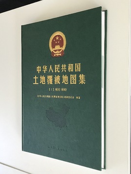

The world's first land cover atlas, Land Cover Atlas of the People’s Republic of China (1:1,000,000), has been published in both Chinese and English. The event is a milestone in China’s land cover and geographical research, said Xu Guanhua, CAS academician and advisor to the atlas editorial board, at a press conference held in Beijing on November 15.
According to Xu, it took more than 240 researchers six years to complete the compilation of the bilingual atlas, a complete record of the evolution of China’s land cover in the past nearly 20 years from both quantitative and qualitative perspectives.
“It consists of the world’s longest sequential dataset featuring the widest monitoring scope and highest accuracy,” said Wu Bingfang, chief editor of the atlas and research fellow at CAS’ Institute of Remote Sensing and Digital Earth. The dataset incorporates 12,691 30-meter resolution optical data sets, 63,796 medium and low resolution remote sensing data sets, and 827 microwave data sets.
The datasets underwent validation by over 110,000 national land-cover ground samples, as well as accuracy verification by more than 30,000 independent ground-surveyed samples, and were confirmed by 31 environmental protection departments at the provincial and municipal level.

Land Cover Atlas of the People’s Republic of China (Image by CAS)
Source: chinanews.com